
Elevation Certificate Guidance for River Area Properties
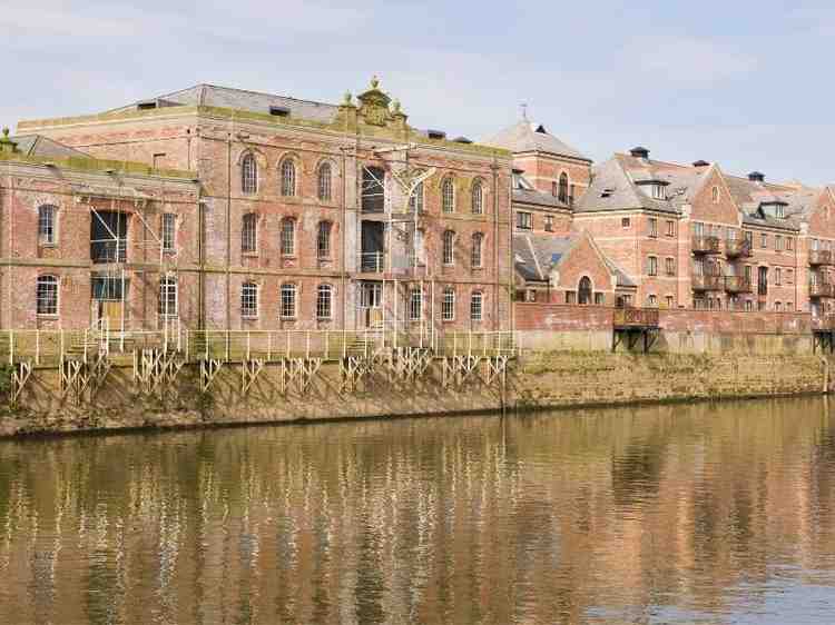
An elevation certificate is one of those documents nobody thinks about until they need it. If a property sits near a river or in a low-lying area, this paper can shape how a sale closes, how insurance gets priced, and how a lender views the risk. It records the exact height of a structure compared to known flood data, and that number carries real weight.
River area homes carry a different kind of risk than land on higher ground. Water levels rise and fall, and a few inches of elevation can be the line between a dry basement and a flooded one. Knowing where a property stands on that scale matters long before any paperwork gets signed.
Confirming Flood Related Building Elevations
An elevation certificate records exact height information for a structure, usually tied to the lowest floor of a building. For homes near rivers or in low areas, this number gets compared against local flood data to see how the property stacks up.
This record isn’t just a formality. It gives a clear, measured answer to a question that otherwise gets guessed at, which is how high a building actually sits compared to expected flood levels. Guesswork on this point can lead to costly surprises later, especially during insurance renewal or a future sale.
Surveyors who prepare these certificates follow a specific process, measuring elevations at set points on a structure and comparing them to official flood maps. The result is a document that others can trust and use without redoing the work themselves.
Helping Buyers Review Flood Exposure Before Closing
Buying a home near a river without checking its elevation record is a risky move. An elevation certificate gives buyers a clear look at flood-related facts before they sign anything, instead of relying on assumptions or a seller’s word.
During due diligence, this document can answer questions that matter a lot down the road, like how the home compares to the base flood elevation and whether the structure sits above or below the expected water line. Buyers who skip this step sometimes find out the hard way, after closing, that their new home carries more flood risk than they expected.
Real estate agents working in river areas often recommend pulling this record early in the process. It gives buyers time to factor flood exposure into their offer, their financing, and their long-term plans for the property.
Supporting Lender and Insurance Documentation Needs
Lenders and insurance companies both care about flood risk, and an elevation certificate is often the document that settles the question. When a property sits in or near a mapped flood zone, this paperwork can directly affect loan approval and premium pricing.
Insurance carriers use the elevation data to calculate flood insurance rates. A structure that sits well above the base flood elevation usually qualifies for a lower premium, while one that sits at or below that line often pays more. Getting this number right protects the buyer from paying more than necessary.
Lenders may also require this certificate as part of their underwriting process, especially for properties in higher risk flood areas. Having accurate paperwork on hand keeps a closing on schedule instead of stalling out over missing documentation.
Checking Whether Older Elevation Records Still Apply
Older river-area properties often come with elevation records that were prepared years or even decades ago. Flood maps get updated over time, and a certificate that was accurate in the past may no longer match current flood data.
A few situations tend to raise red flags for owners and buyers alike:
- The original elevation certificate is missing or was never located
- Local flood maps have been revised since the last certificate was issued
- The structure has been altered, expanded, or had its foundation changed
- The property changed ownership without a fresh elevation check
When any of these apply, ordering a new elevation certificate is usually worth the cost. It replaces outdated guesswork with current, accurate information that matches how flood risk is measured today.
Clarifying Flood Questions With Measured Survey Data
Flood related questions tend to get complicated fast, especially when different people are working from different assumptions. A licensed surveyor’s elevation record gives everyone involved, owners, agents, lenders, and reviewers, the same starting point to work from.
This shared data cuts down on confusion during a transaction. Instead of debating whether a property is at risk based on hearsay or an old rumor, everyone can look at the same measured numbers and reach the same conclusion. That kind of clarity tends to move deals along faster.
Measured survey data also holds up better over time than informal opinions or secondhand information. If a flood related question comes up again later, whether during a resale or an insurance review, having a proper elevation certificate on file makes that conversation much easier.
Frequently Asked Questions
Why do river area properties need elevation certificates?
They may need elevation documentation because nearby flood risk can affect lending, insurance, permits, or property review. Without this record, these decisions often rest on guesswork instead of facts.
Can an elevation certificate help before buying near a river?
Yes, it gives buyers measured elevation information before they make a final property decision. That information can shape financing, insurance costs, and long-term plans for the home.
What does an elevation certificate document?
It records building elevation details and flood-related property information based on survey measurements. This includes the height of key structural points compared to known flood data.
Should older river properties have updated elevation records?
Yes, especially if past records are missing, outdated, or no longer match the property. Flood maps change over time, and an old certificate may not reflect current risk levels.